Plans to construct a pedestrian bridge connecting the North and South Sides of Bethlehem are almost finalized.
The project is currently in phase two of a 12-month feasibility study conducted by WRT Planning and Design, which was commissioned by the city of Bethlehem in March of this year.
In 2016, a committee was formed to explore the possibilities of building a pedestrian bridge and since then, there have been many meetings, events and information sessions.
The goal has been to develop a comprehensive strategy to construct an automobile-free bridge. The group has chosen three alternate locations for the bridge and outlined plans for ADA accessibility, order-of-magnitude cost projections, a timeline and a return on investment analysis.

Plans are almost finalized for a pedestrian bridge connecting the North and South Sides of Bethlehem. This is part of a goal to make the city more walkable and unified. (Sharon Jo/B&W Staff)
Jared McKnight, a designer with WRT, said there are three locations on the South Side and four on the North Side being explored.
“Currently, it seems some connections we could make are from right beside the Hill-to-Hill Bridge over to Main Street or the western side of Sand Island,” McKnight said. “Others we’re looking at are from Webster Street to the end of the Fahy Bridge, along with going from Polk Street to the eastern end of Sand Island.”
McKnight said whilst conducting the study, the group looked towards other pedestrian bridges for inspiration such as The Dublin Link in Dublin, Ohio, Schuylkill Banks Boardwalk in Philadelphia, and Providence Pedestrian Bridge in Providence, Rhode Island.
McKnight said these bridges are able to connect to parts of their respective towns that exemplify the varying characteristics of the different areas.
Keiko Cramer, a landscape architect for the project said the group has been working to gain different perspectives about what residents are looking for in the bridge through virtual town hall meetings, scavenger hunts, surveys and focus groups.
“We’ve been consistently getting feedback from members of the community,” Cramer said. “Although we know the guidelines of how to put a bridge in a place and may have different opinions of what could work best, we look towards them to see what they feel will benefit this area the most.”

Plans are almost finalized for a pedestrian bridge connecting the North and South Sides of Bethlehem. This is part of a goal to make the city more walkable and unified. (Sharon Jo/B&W Staff)
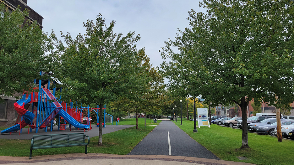
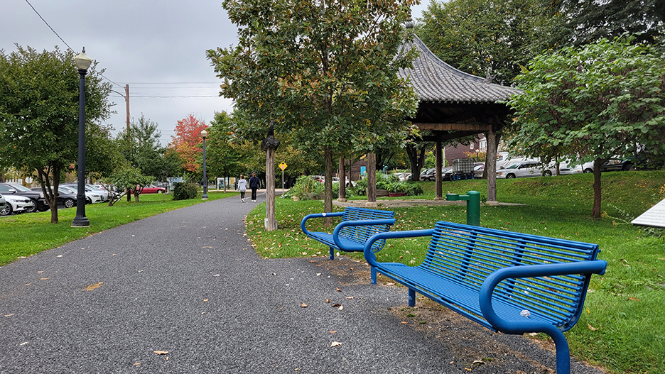
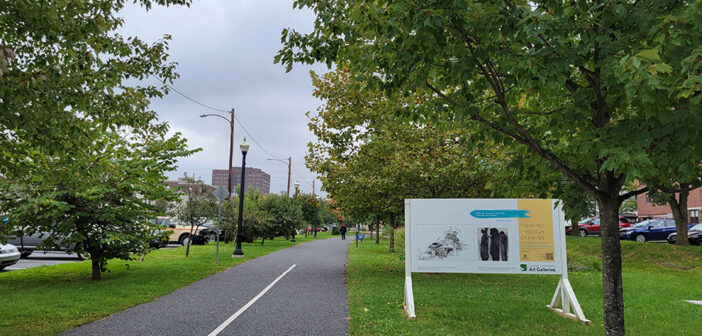
On Oct. 1, members of the bridge team organized a stand on the South Bethlehem Greenway to inform Bethlehem residents of their plans and solicit feedback.
Some residents said that the bridge should safely connect to Sand Island Park along with the trails and the Greenway. Others said they want more areas to picnic and listen to music.
The team’s objective is to ensure the bridge is a catalyst for vitality, sustainable and resilient and a cultural canvas, in addition to being safe and well connected.
Although the team’s plan is to build a pedestrian bridge across Bethlehem, Stacey Blankin, project manager for WRT, said its goals extend beyond that.
“We’re not trying to build a bridge, we’re trying to build a community,” Blankin said. “With this bridge we want to bring together the two communities of Bethlehem to help expand on what Bethlehem has to offer such as it’s culture, events and more.”


Comment policy
Comments posted to The Brown and White website are reviewed by a moderator before being approved. Incendiary speech or harassing language, including comments targeted at individuals, may be deemed unacceptable and not published. Spam and other soliciting will also be declined.
The Brown and White also reserves the right to not publish entirely anonymous comments.
1 Comment
I like the Hill to Hill bridge location to Main Street on Sand Island. Great central location to the World Heritage site on the Northside which is going to draw hundreds of Thousands of tourists.